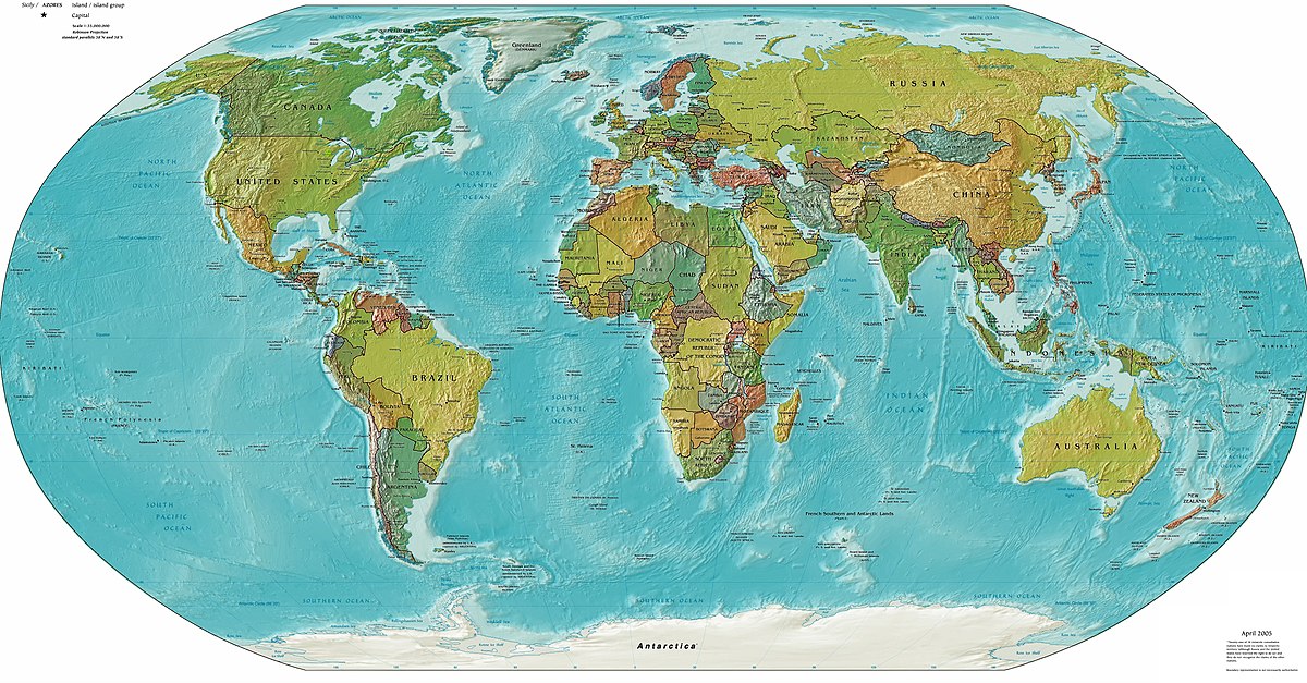
 Do you remember learning about geography in school? Maybe you used maps or globs to explore the different features of our world. Today, students can experience 3D models using Google Earth to explore locations on the other side of the globe in seconds! Teaching a lesson with Google Earth is definitely something that I would love to us in my classroom one day. I would give the students latitude and longitude coordinates to explore like a scavenger hunt. One of my favorite parts of Geography was learning about latitude and longitude in sixth grade. My teacher was the faculty adviser for the LEGO robotics club and the tech crew, so he was well versed in technology. To learn latitude and longitude, my teacher had us play a more interactive form of Battle Ship. He gave everyone a large map with latitude and longitude lines on it that we would mark in several spots to represent our bases. Once everyone had marked their bases, we would take turns calling out coordinates to try and hit one of our classmates. If we successfully found one of our classmate's bases, then we got to go in the back of the room to use the NERF dart launcher he had created to shoot the person that we hit. Everyone in the class was really engaged by this activity and the competitive element that was added in really made it exciting to name the right coordinates. One of my other favorite geography projects was my fourth grade New York project. We were tasked with creating a 3D map of New York. For my map, I used a large Styrofoam block and clay to carve out the shape of the state itself as well as the mountain ranges, rivers, and lakes that make New York unique. This was one of my favorite geography activities because it was really hands on and I'll never forget where Poughkeepsie is on the map now!
Geography itself has more elements than maps. There are five themes of geography that students must learn in school, which include location, place, movement, human-environment iteration, and region. The theme of location explores the concept of being in a particular place. This can be explained using exact coordinates of latitude and longitude or by referencing the relative distance from other places or landmarks. The theme of place explores the characteristics of the locations that you are looking at. These characteristics include landforms, such as mountains, valleys, and rivers It also includes man-made structures such as skyscrapers, highways, and canals. The human-environment interaction theme explores the effects of the environment on humans and in turn the effects of the humans on the environment. This theme is often debated as people tend to disagree how much of an impact one has on the other, especially when it comes to Global Warming and Climate Change. The movement theme explores anything that physically moves across the Earth. The things that are most prominently explored are the migration of animals or people from one location to another, and the movement of trade. When exploring these movements, geographers study how they affect the Earth's landscapes and the world's distribution of people. Finally, the theme of region explores how the Earth is divided into continents, countries, states, provinces, towns, and communities.
The broad term of geography means the study of Earth and its features. As mentioned before it looks at the land-forms, the layers of the Earth, the rocks, the plant and animals, and how all of these elements interact with people. When a geographer studies how humans are interacting with the Earth, they are exploring cultural geography. One of the aspects of cultural geography is spatial analysis in which one studies trends that occur within groups of people, such as disease, famine, or even flourishing populations.
As you can see geography has something for everyone to get excited about and can certainly capture a wide range of students' attention!
Comments
Post a Comment